Cruise Terminal
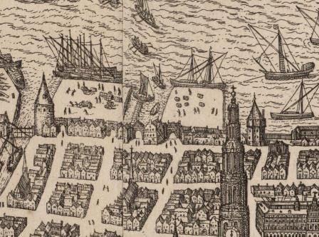
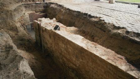
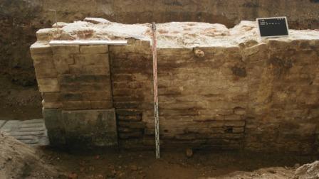
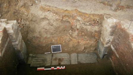
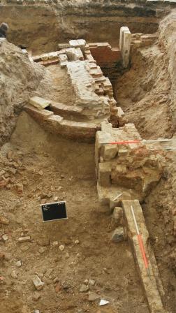
The medieval quayside, where ships used to moor, was formed by the city wall along the Scheldt, the canals and the moorings with various port activities. “Bierhoofd” wharf was situated under the hangars near the Cruise Terminal. “Kleine Bierpoort” and “Grote Bierpoort” provided access to the city from the mooring at Bierhoofd. The city’s archaeologists were able to locate and excavate the medieval city wall and Kleine Bierpoort gate using the “Gevelplan” (1798-1803, Façade Plan). They were unable to locate Grote Bierpoort gate.
GISid:
074
Afbeelding:


Latitude:
51.22
Longitude:
4.40
Meer info:
