Antwerp canal city
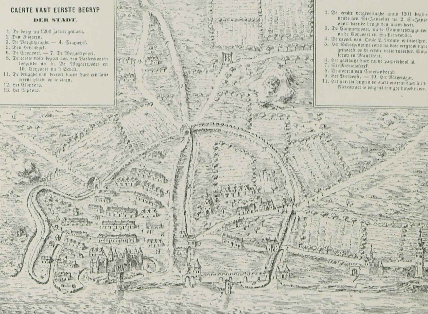
By the end of the eleventh century, the fortress of Antwerp had become a walled fortress. As the population continued to grow, new defences were needed. The inhabitants of the city used the tributaries of the Schijn River to build a protective ring of canals around the city. These “ruien” or “roya” originally were natural drainage canals. Over time, they became a full-fledged belt of canals, to demarcate the residential areas in the city. The so-called “canal triangle” encircled an area of about twenty hectares. Today you can still see it on any map of Antwerp if you trace the triangle that connects Boterrui (which no longer exists), Suikerrui, Kaasrui, Jezuïtenrui, Minderbroedersrui, Sint-Paulusstraat and Koolvliet. Nothing changed in the canal city until around 1200. The city’s archaeologists have documented various aspects of daily life during this period during different excavations, from the houses to the material culture of the inhabitants.
The old ruien were preserved and used as watercourses during subsequent expansions of the city. The population disposed of a lot of rubbish in the canals. As a result, odour nuisance became a serious problem. The canals were gradually covered to tackle this issue. By the nineteenth century, all the canals were covered and the ruien were exclusively used for the drainage of the sewers.