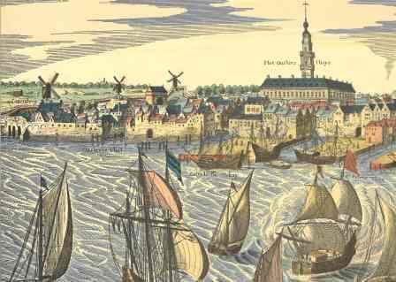
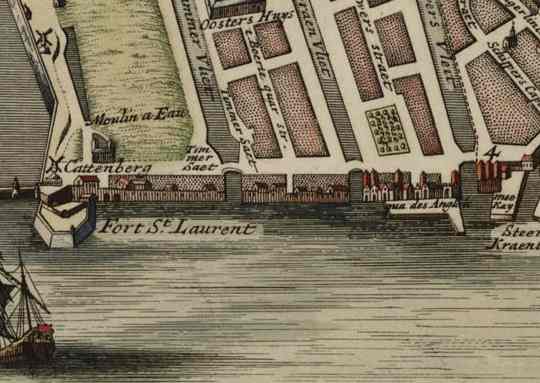
The historic port Nieuwstad
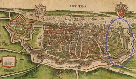
From the Middle Ages onwards, the city was bordered by walls and towers, as a defence and fortification. In the north, the medieval city extended to Vestvliet, the present-day Brouwersvliet. Schijnbroek, an area outside the walls, was marshy, thinly populated and low-lying.
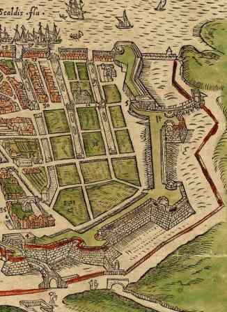
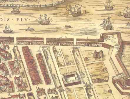
Following the construction of the Spanish ramparts, the city gained 25 hectares of new land in the north of the city, which formed “Nieuwstad”. From 1542 works started in this area, but they were laborious. The diggers and bricklayers complained about the lay of the land and the struggle against water and mud. They found a lot of rubbish, stones and pebbles when digging the quay wall along the River Scheldt, which only complicated their work even more. As the quay wall had to be built from the water, the works flooded every time the tide came in. But finally the new quays walls were built. The focal point of Nieuwstad was the Hanseatic House, the trade centre of the German Hanseatic League. Three new canals were also built there (Timmervliet, Graanvliet and Brouwersvliet) to strengthen the port and increase trade.
However, the fall of Antwerp in 1585 and the decline of the overseas trade prevented the growth and development of Nieuwstad.
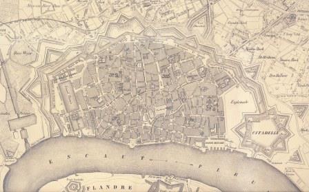
In the early nineteenth century Napoleon demolished the Scheldt walls during the renovation of the quays. The Scheldt quays were re-aligned barely a century later giving the Antwerp quays their current appearance. The remains of the old quay walls, canals, locks and houses have been preserved under the quays as a soil archive.