From fortress to park
The Fortress of Herentals, the city's furthest fortification, was incorporated in the Spanish ramparts in 1818. The location for this lunette or sconce was chosen because of the presence of Herentalse Vaart among others. The lunette was shaped like an equilateral triangle. The wider section was built against the Spanish ramparts. There was a wide slope on the two other sides.
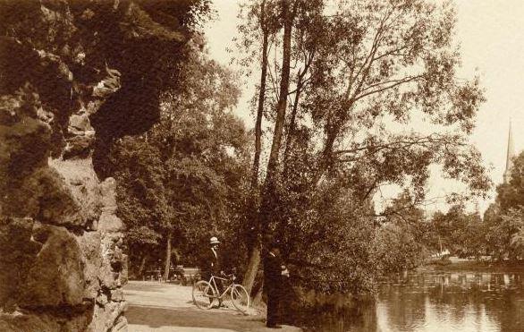
In line with foreign examples, a public walking trail was built on the slopes of the ramparts in 1844. This was extended to the flanks of the lunette in 1853. When the fortress no longer had a military purpose in 1859, the city decided to build boulevards instead in the location of the ramparts. As a result, the lunette of Herentals became a public park. In 1867, the city commissioned a design for the park from the German landscape architect Eduard Keilig.
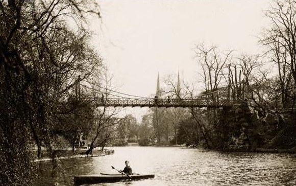
The paths in this English landscape park wind their way through a romantic landscape with a defining pond. The alternation between grassy knolls on hilly land and carefully placed groups of trees creates surprising perspectives. The park's triangular shape refers to the nineteenth-century lunette. The gently sloping terrain was obtained by partly filling in the inner area of the sconce. The ponds largely follow the line of the former moat, but the banks became less rigid.