Zuiderterras car park
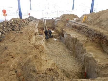
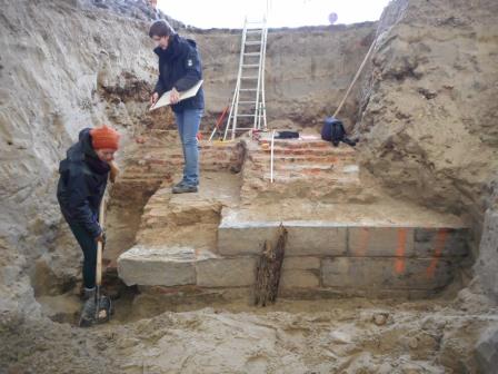
Napoleon’s quay wall runs diagonally under the quays near the car park. We know this because we were able to approximately determine its location based on nineteenth-century plans. Two trenches were dug to determine the wall’s exact location. This allowed archaeologists to measure the wall again, using modern measurement techniques.
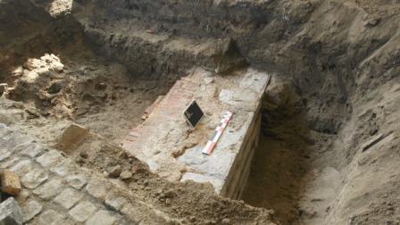
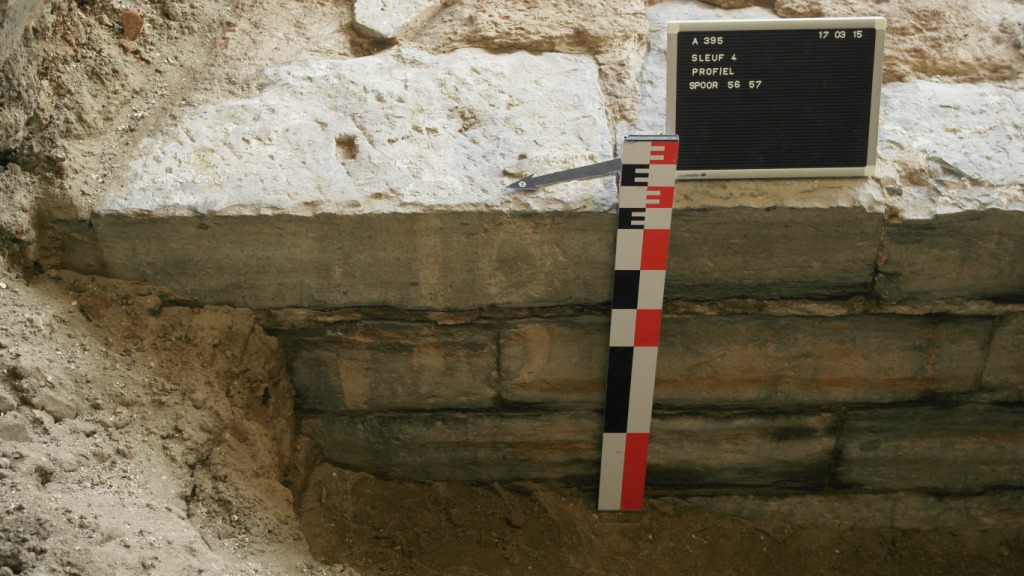
The Napoleonic quay wall consists of a brick wall that is covered with blue stone. Painted markings were also visible on the blue stone. A wooden bollard was also preserved.
GISid:
073
Afbeelding:


Latitude:
51.22
Longitude:
4.40
Meer info: