Bastion of Kattenberg
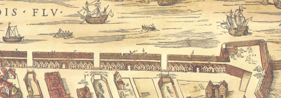
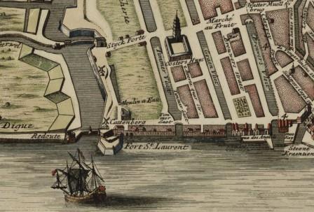
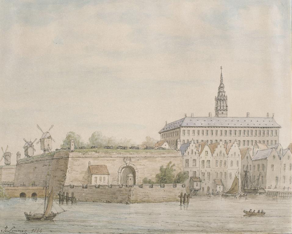
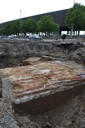
The Bastion of Kattenberg was a demi-bastion and was used to defend the city against attacks from the Scheldt. The bastion jutted out slightly on the Scheldt side. On land, it formed one unit with the city wall up to Slijkpoort Gate. In archival documents, the bastion is referred to as “het bolwerk buten tbaergiehuys”, or the bulwark outside the nearby barge house, in which the Zeeland shuttle boats were anchored. In 1601, the bastion was extended with the Fortress of Sint-Laureis. The construction for a new tram line in the frame of the Noorderlijn project runs through the walls of the Bastion of Kattenberg on the side of Rijnkaai. These will subjected to an archaeological survey first.
GISid:
072
Afbeelding:
Latitude:
51.23
Longitude:
4.40
Meer info: